Interactives

Maps


Harmonised Traffic Counts
Explore time series of traffic volumes and trends in heavy vehicle traffic for selected Local Government Areas (LGAs) nationally.

Roadworks and Road Closures
Explore an up-to-date national picture of roadworks and road closures, hazards, events and road conditions, drawn from state and territory open data feeds.

Congestion
Explore road route information by distance and duration at different times of the day, on different days and in different months.

Rest Area Location and Facilities
Explore truck rest area data by location of rest stops, facilities available, usage level, and time spent at stops.

Road Condition and Expenditure
Explore road condition and expenditure, including which roads have received funding for upgrades or maintenance.
Charts and Graphs

Regional Flows
Explore the relationship between an urban centre or state and the goods imported and exported in the past 5 years.
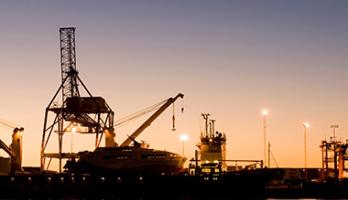
Port Catchments
Explore the relationship between a port and the regions it serviced in the past 5 years.
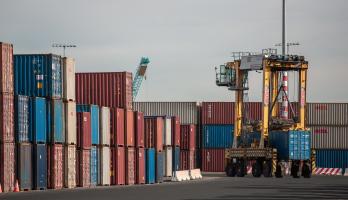
Container Movements
Explore the number of containers moved between port and regions in 2023 to see an indication about the mode of transport used.
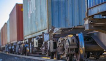
Freight Train Movements by Region
Explore the number of freight trains by commodity and the regions they travelled through in an interactive dashboard.

Freight Train Movement Analytics
Explore the different types of freight train movements through charts in an interactive dashboard.


Container Counts
Explore container movements through ports, including how fast they are unloaded, how many leave via road or rail, and historical trends.

Imports and Exports
Explore customs data for imports and exports by origin and destination, country and region, volume and value, and mode of transport.

